7 of the best scenic walks and hikes you can easily get to from Dublin City
Dublin City is bordered by mountains and the sea, giving us beautiful walks and hikes to unwind and get back to nature. With some destinations taking you into neighbouring counties, you can enjoy cliff-side scenery and mountain forests all within easy reach of Ireland’s capital using public transport. For hard-core hikers start the Wicklow Way, one of Europe’s best multi-day hikes, from a leafy suburb in south Dublin. Day trippers and Sunday strollers have plenty of easy routes to choose from and you’re never too far from a pint or a delicious bite to eat.
Download essential local transport apps:
The Wicklow Way
One of Ireland’s greatest hikes and the first trail to be formally mapped in Ireland, the Wicklow Way is a 127km route through the Dublin and Wicklow Mountains, ending in County Carlow. The Way starts in Marley Park, Rathfarnham in South Dublin which can be reached by the number 16 bus from the City Centre. The whole route takes 5 to 7 days to complete and accommodation is best booked in advance along the Way. We recommend An Oige, the Irish Youth Hostel Association which has a couple of lovely hostels en-route. It can be taken in sections, so you can choose between accessible hikes to incredible views or tougher trails to remote upland areas where you need to be prepared for all types of weather. Our favourite sections are Djouce Mountain and the valleys of Glendalough and Glenmalure.
How to get there: To start the Wicklow Way from the very beginning head to Marley Park on the No. 16 bus from the City Centre. It takes a little planning to get to the trail head for Djouce Mountain but it is possible by local transport (an excuse to stop at Trails café on the way up for a treat!). Glendalough is now more accessible thanks to St. Kevin’s Bus and it’s also the best local transport for Glendalough Valley and surrounds. You can catch it from St. Stephen’s Green.
Map of the 7 of the best scenic walks and hikes near Dublin City
Sandymount Strand and The Great South Wall
A feat of incredible engineering when it was completed in 1795, the Great South Wall was built by the British Empire to protect Dublin’s busy port. It stretches 4 km out to sea, making it one of the longest sea walls in Europe. At the end is an 18th century lighthouse called Poolbeg Lighthouse, painted bright red. From there the views back to Dublin city are fantastic and you can watch huge ferries and container ships glide into the harbour.
We recommend starting at the end of Sandymount Strand, ramble through Sean Moore Park and onto Irishtown Nature Park, hugging the coast and passing beneath the ‘Pigeon House’, two red and white chimneys which are an icon of Dublin City. There’s usually a mobile coffee shop parked at the start of the South Wall if you need a pick me up. Give yourself around 2 to 3 hours, there and back again for a nice leisurely pace.
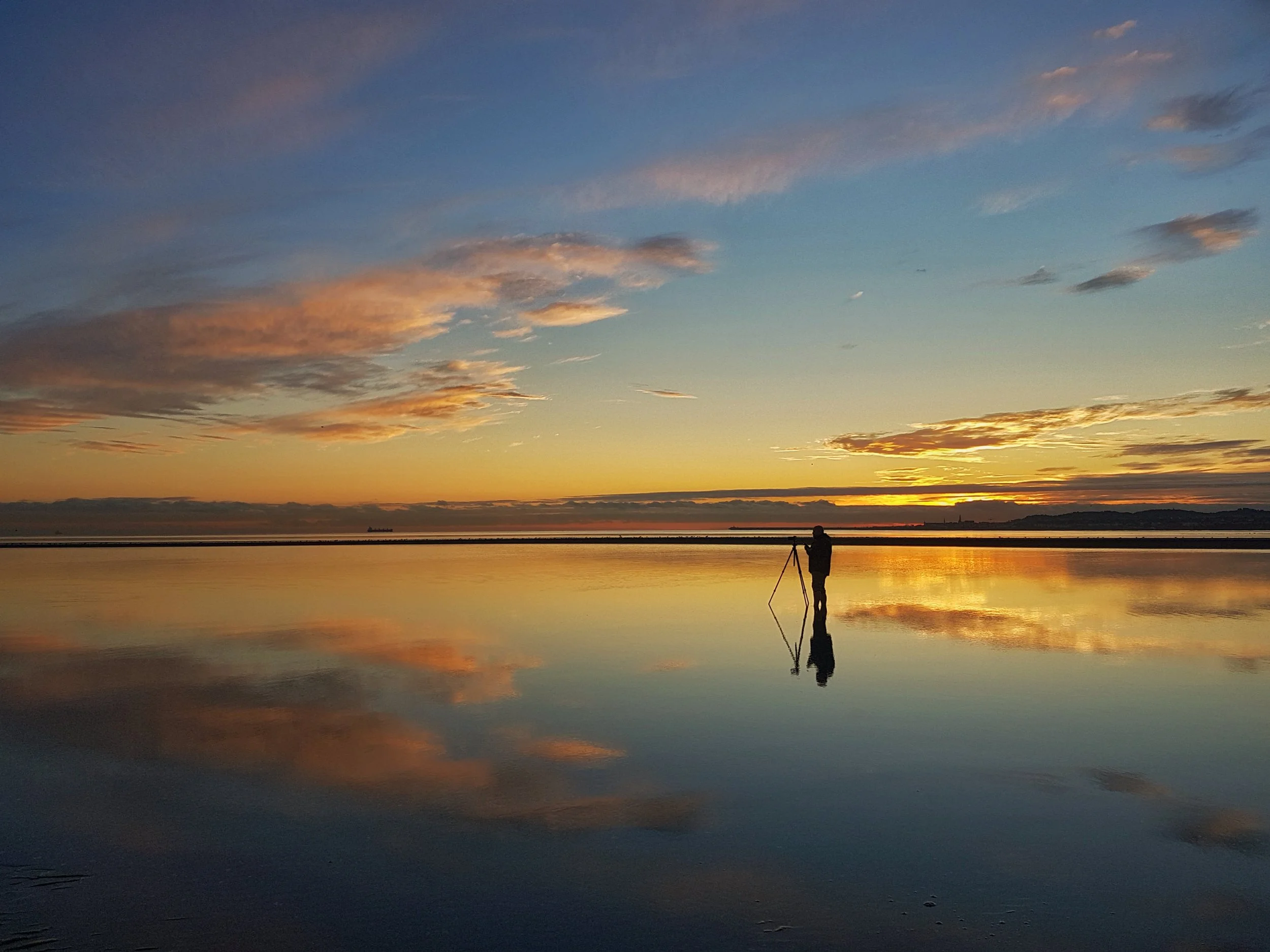
Walking on Sandymount Strand when the tide is out is one of our favourite walks but it’s absolutely gorgeous at sunrise. It’s one of the best places in Dublin for landscape photography. Just keep an eye on the tide as it turns, sometimes people have been stranded as it can creep in around you while you’re distracted by the beautiful views! Great for birdwatchers too.
How to get there: From O’Connell Street, walk to Townsend Street and catch a 20 minute bus ride on the number 47 and get off at Sandymount. From there it’s a few minutes walk down Marine Drive to the beach.
Ticknock and the Three Rock Mast
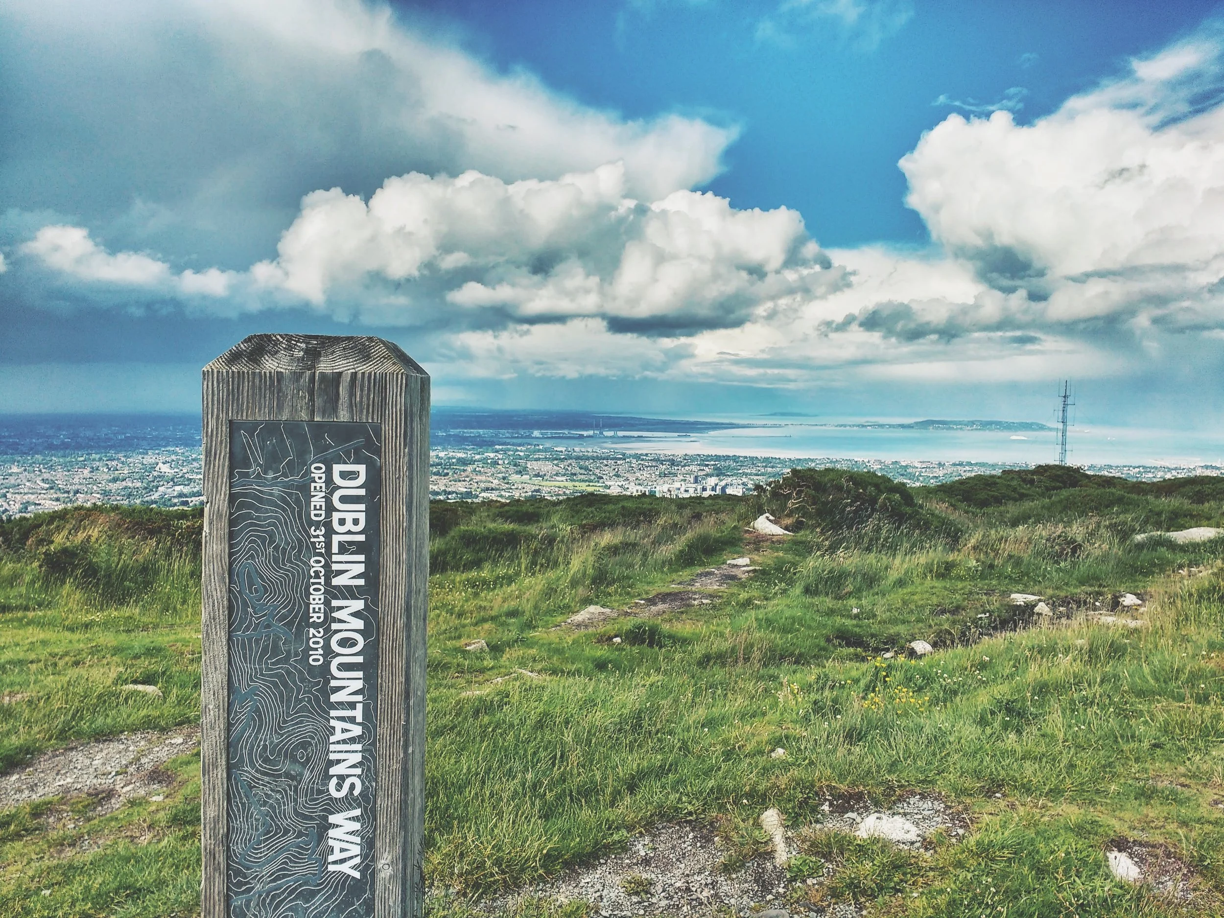
Ticknock is one of Dublin’s best amenities with a network of forest trails, mountain bike trails and an multiple trails to the summit, known locally as “Three Rock”, home to the city’s huge transmitter masts. The views from the top make it an ideal location for sunrise as you’ll get to see the ball rise from the ocean, while Dublin city gets bathed in golden light. There are more trails from here that can take you further up into the Dublin and Wicklow Mountains following both the Dublin Mountains Way and the Wicklow Way. Climbing further to the summit behind Ticknock you’ll find the remains of a neolithic passage tomb locally known as Fairy Castle and it’s an absolutely stunning hike. Head into the forest and you’ll find plenty of shade for a picnic and a great view of the city on a sunny day.
How to get there: Although the main car park is on Ticknock Road, when using public transport it’s easier to approach it from the opposite side. Just a 20-minute tram ride on the Green Line from St. Stephen’s Green to Dundrum and then bus 44B takes you to the The Blue Light Pub near where the trail starts (staff will helpfully point you in the right direction). This one of Dublin’s best country pubs so make sure you stop in here for a drink after.
Bray to Greystones Cliff Walk
This coastal walk takes in some of the best views of the seaside scenery south of Dublin. Just a short hop on the DART (Dublin’s trainline) you can start the walk from either Bray or Greystones. We recommend starting in Bray so you can reward yourself at the end of the walk by stuffing your face with cake at The Fat Fox in Greystones. On one side you have spectacular views of the whole coast, following along above the train line and the other side reveals majestic Bray Head (another hike you can do) and wildflower meadows.
How to get there: It’s one of the country’s loveliest train journeys and a treat in itself. Get on the southbound DART at Tara Street Station, get a window seat (left side of the train facing forward) and drink in the scenery as the train hugs the coast all the way to Bray. When you’re finished your walk just jump on at Greystones back to the city centre.
The Dodder Greenway
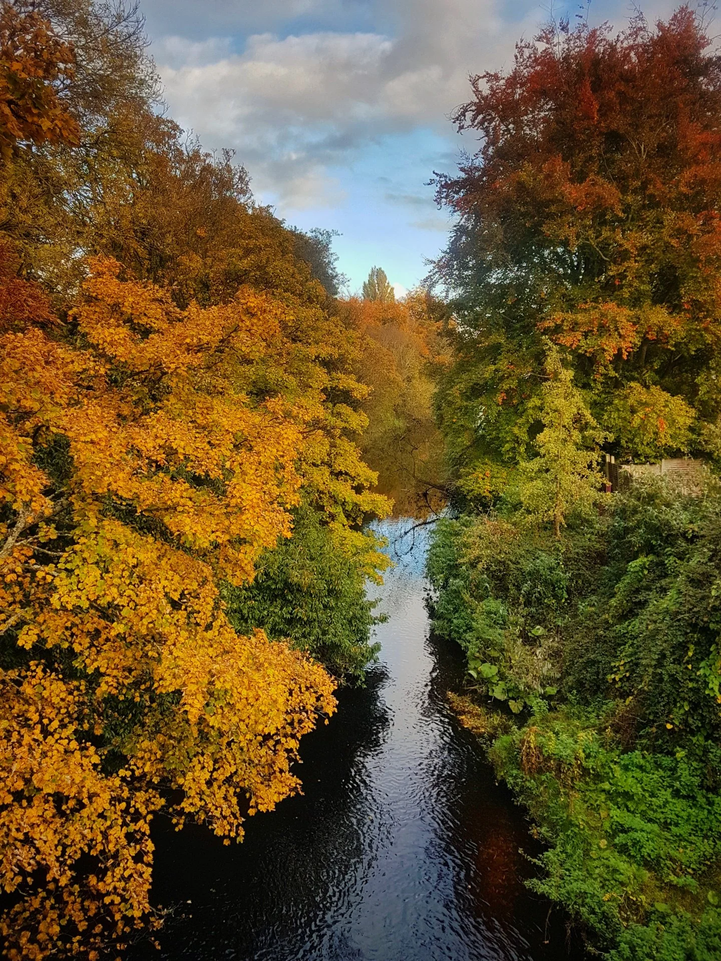
The Dodder river traverses South County Dublin from the Bohernabreena Reservoir west of Tallaght 17km to the mouth of the River Liffey at Dublin City’s Grand Canal Dock. Each section of the greenway along its banks is an oasis of natural beauty and serenity meandering through the busy network of Dublin's suburbs. One of our favourite’s is around 5.5km and takes in four beautiful public parks, Temple Park, Dodder Park, Orwell Park and Bushy Park. The gushing waters, flanked by weeping willows, flow over a number of weirs and attract an abundance of wildlife. For any lover of nature or walking, it’s a lovely way to spend an afternoon, spotting herons, foxes, kingfishers and maybe even the elusive otter. Wherever you stop walking you’re never too far from local tranport to get you back into town. You mighy only make it as far as The Dropping Well Pub, right on the banks of the Dodder, because you can see the tempting pints and smell the gorgeous food they serve — it happens! Especially when the sun is shining and you can sit right by the water! There’s always tomorrow!
How to get there - Start at Clonskeagh by taking the number 11 from the east side of St. Stephen’s Green for 10 minutes to stop no. 858. Walk over the bridge and start following the river to your right. If you want to fuel up before the walk, Farmer Brown’s is ideal but you may not want to leave!
Howth Cliff Path
There are a number of trails on Howth all colour-coded and waymarked. The longest route, Bog of Frogs Loop, is from Howth Dart Station, takes you all the way to ‘The Summit’ (the top of Howth Head). It’s a steep climb and takes about 3 hours but it offers the best views of Dublin’s North coast including Lambay Island and Ireland’s Eye and back to Dublin Port. Along the way you’ll see swooping sea birds and happy grey seals chilling out along the shore. The stunning Baily Lighthouse screams for a photo with its backdrop of Dublin Bay and beyond to Sugar Loaf Mountain in neighbouring County Wicklow. Pack your swimming togs just in case you might be tempted to get in for a swim! Choose from Dublin institutions Leo Burdock's or Beshoff’s for the best fish and chips back at Howth Harbour. It will keep you motivated!
How to get there: Take the DART going north from the city centre (Tara Street or Pearse Street Station are handy). Jump off at the last stop, Howth.
North Bull Island Nature Reserve
Only a twenty minute bus ride away from the city centre, you’ll find yourself on one of the finest stretches of coastal beauty that’s this close to a capital city. A beautiful beach backed by grassy dunes and wildflowers known as Dollymount Strand can be reached by walking along the Bull Wall, starting at the wooden bridge on Clontarf Promenade. The old wooden bridge is always busy with walkers, cyclists and unfortunately still has cars traversing it. On weekends it is jam-packed so try arrive early to avoid the crowds. There’s an excellent little cafe called Happy Out for a feed before or after your walk along the beach. The newly opened public heated saltwater pool, Clontarf Baths, is back down Clontarf Promenade if you don’t fancy a cold water swim off the Bull Wall.
How to get there: Get bus number 130 from Busáras Bus Station in the heart of the city out to Clontarf Promenade and you’ll see the wooden bridge you have to cross.
There are so many more walks and hikes around Dublin but we this list is for those who can only get there by public transport. If you’ve hired a car or can get a lift or a taxi keep an eye out for more lists of our favourite places to hike and walk around Dublin and Wicklow. If you’re looking for a nice green space to chill out right in the heart of the city you can find them in one of our other Dublin City Guides here.


